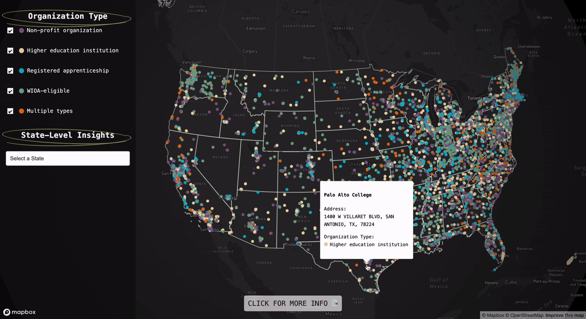
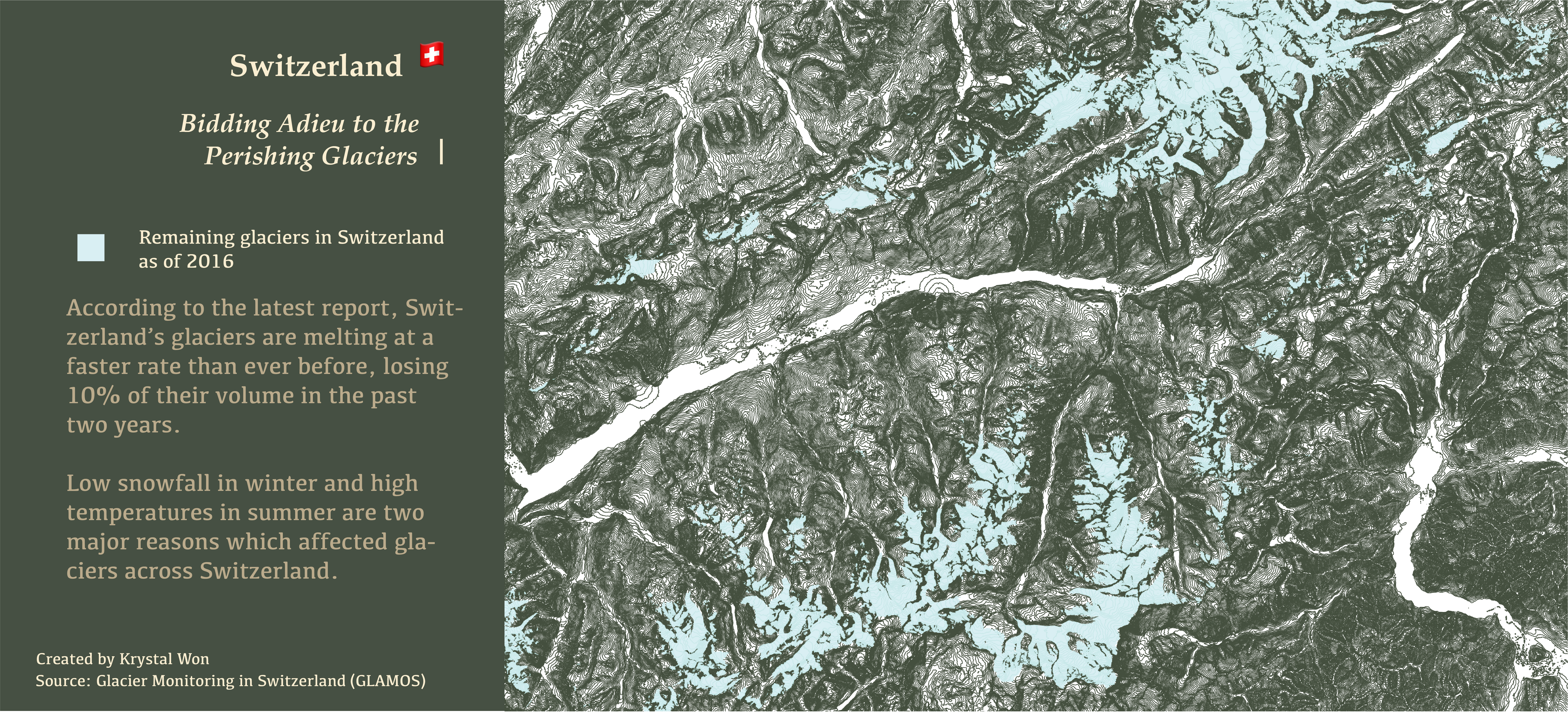
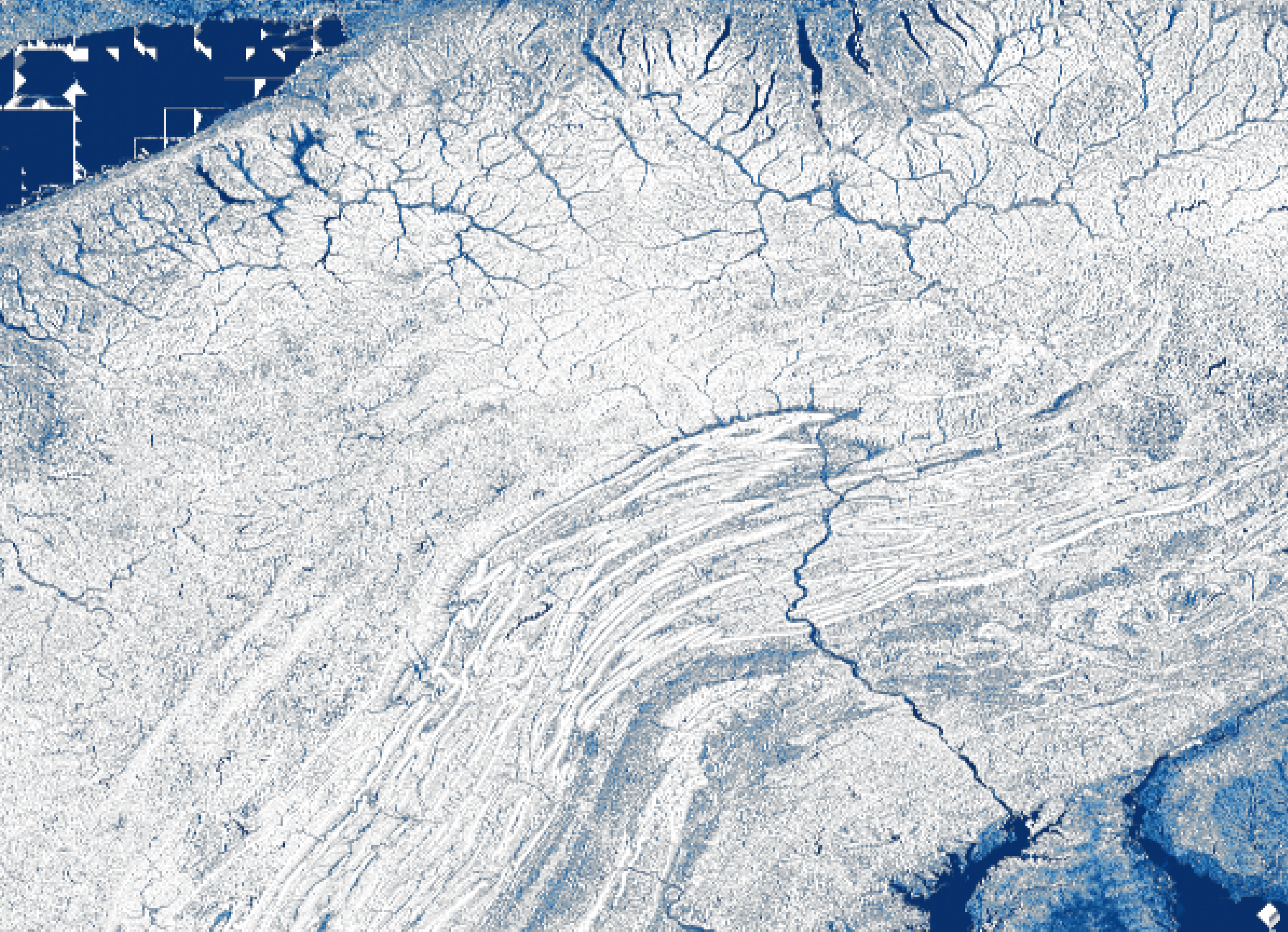
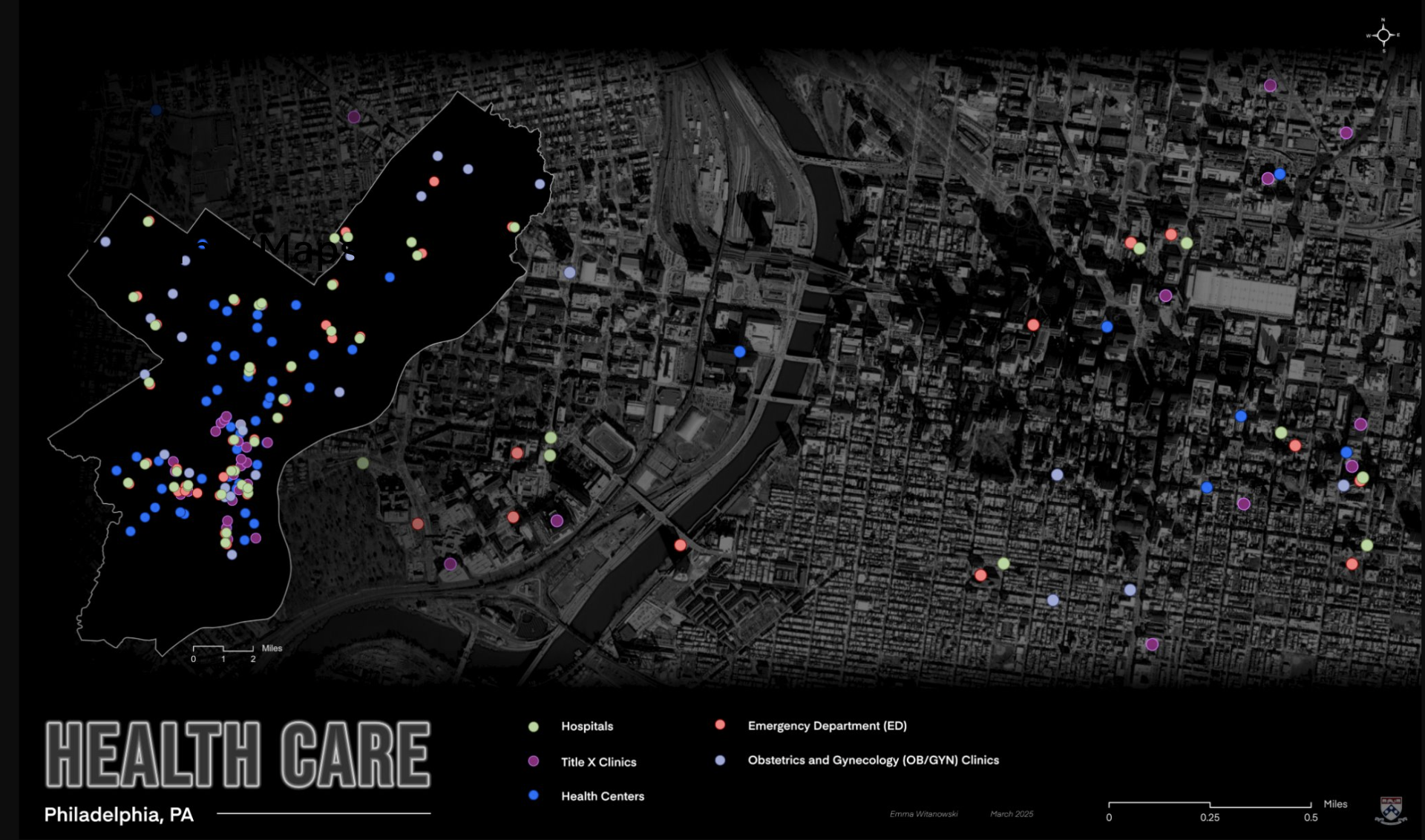
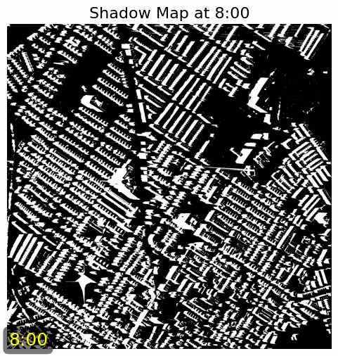
Maps 🌏

Geospatial analysis and cartographic projects exploring urban environments and spatial relationships.
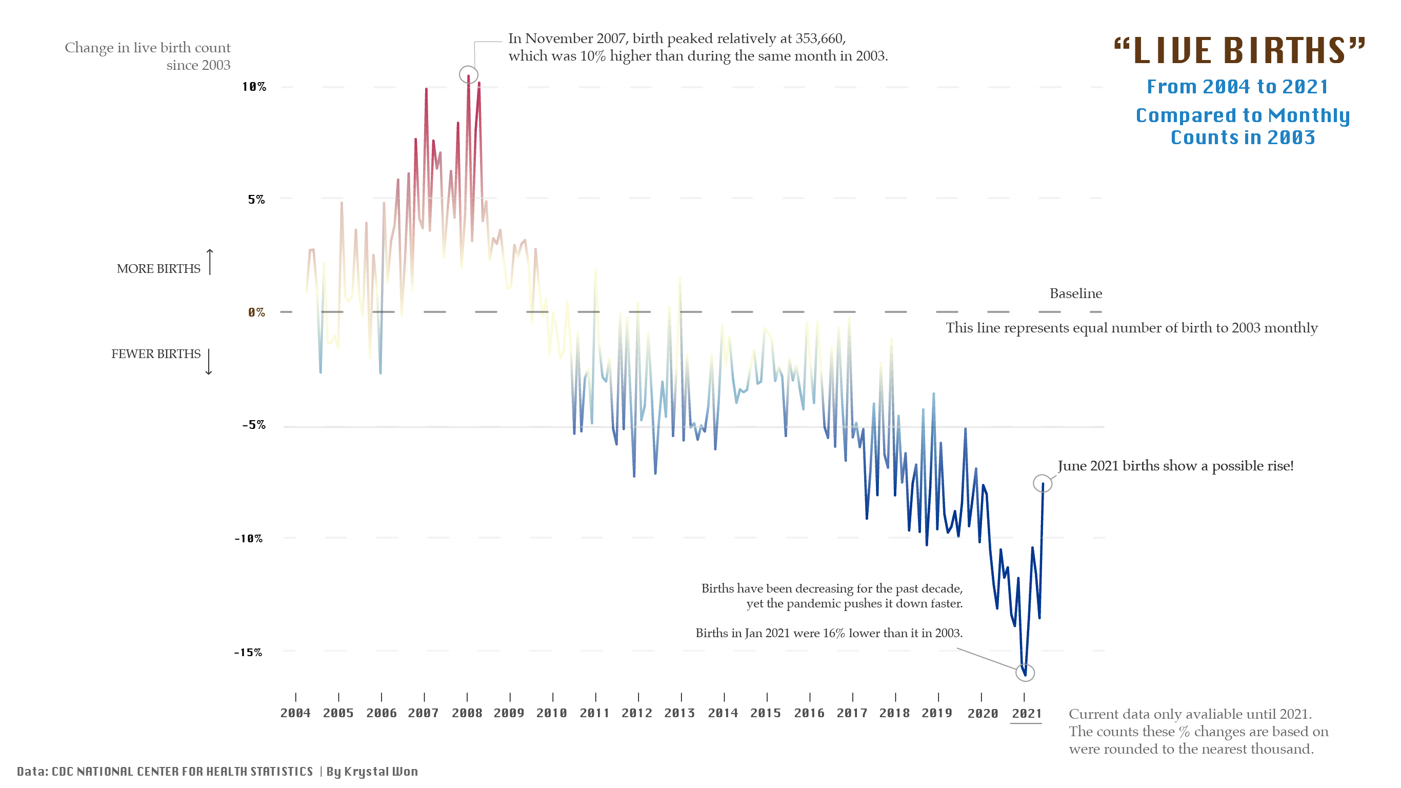
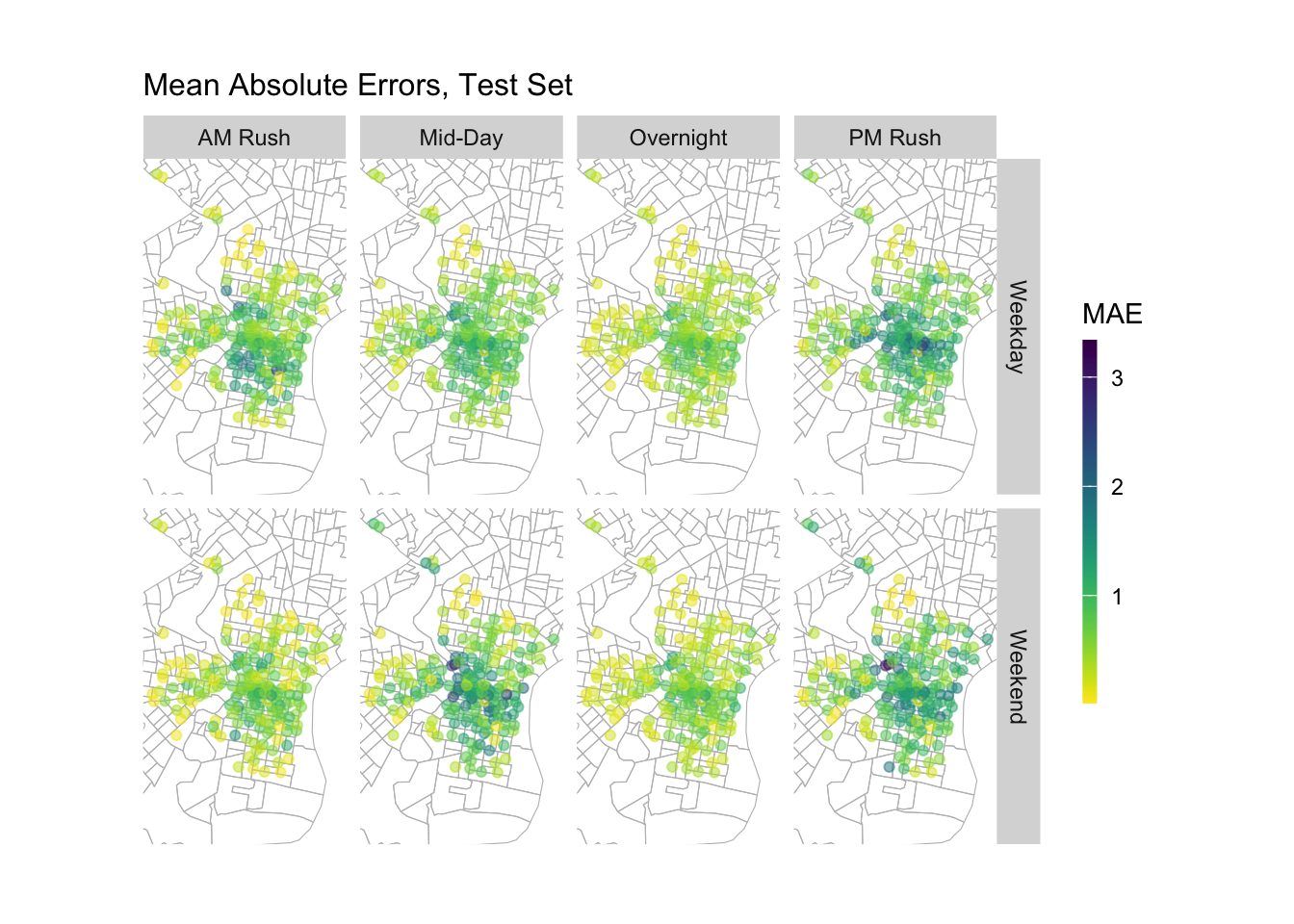
01. Inundation Depth Map of Philadelphia

2025
Tools: Pysheds | Rasterio | Numpy | Matplotlib
Inundation Depth Map of Philadelphia

02. Associations Between Measures of Structural Marginalization and Early Pregnancy Loss

2025
Ongoing Project Tools: ArcGIS Pro | R | Python | Google Cloud Platform

03. StoryMap: Why Does Austin Call Me Back?

2023
Tools: Scrollama.js | Turf.js

Data Analysis 🔍

Statistical analysis and data-driven explorations of urban and environmental datasets.

01. Smart Listing App: Optimizing Airbnb Pricing in Amsterdam's Regulated Market

2025
Tools: R | spatial analysis | regression modeling | feature engineering | data viz

02. GPU programming for shadow distribution

2025
Tools: PyCUDA | GPU Programming

03. Philly Home Price Predictor: Enhancing Zillow's Local Market Intelligence

2024
Tools: R | Tidyverse | sf | ggplot2 | Leaflet | Caret

04. Analyzing IMdb Movie Review: The Impact of Review Length on Sentiment

2024
Tools: Text mining | Sentiment analysis | Analyzing unstructured text data

05. Predictive Bike-Share Rebalancing System

2024
Tools: R | purrr | gganimate

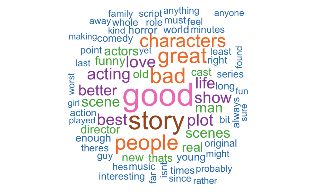
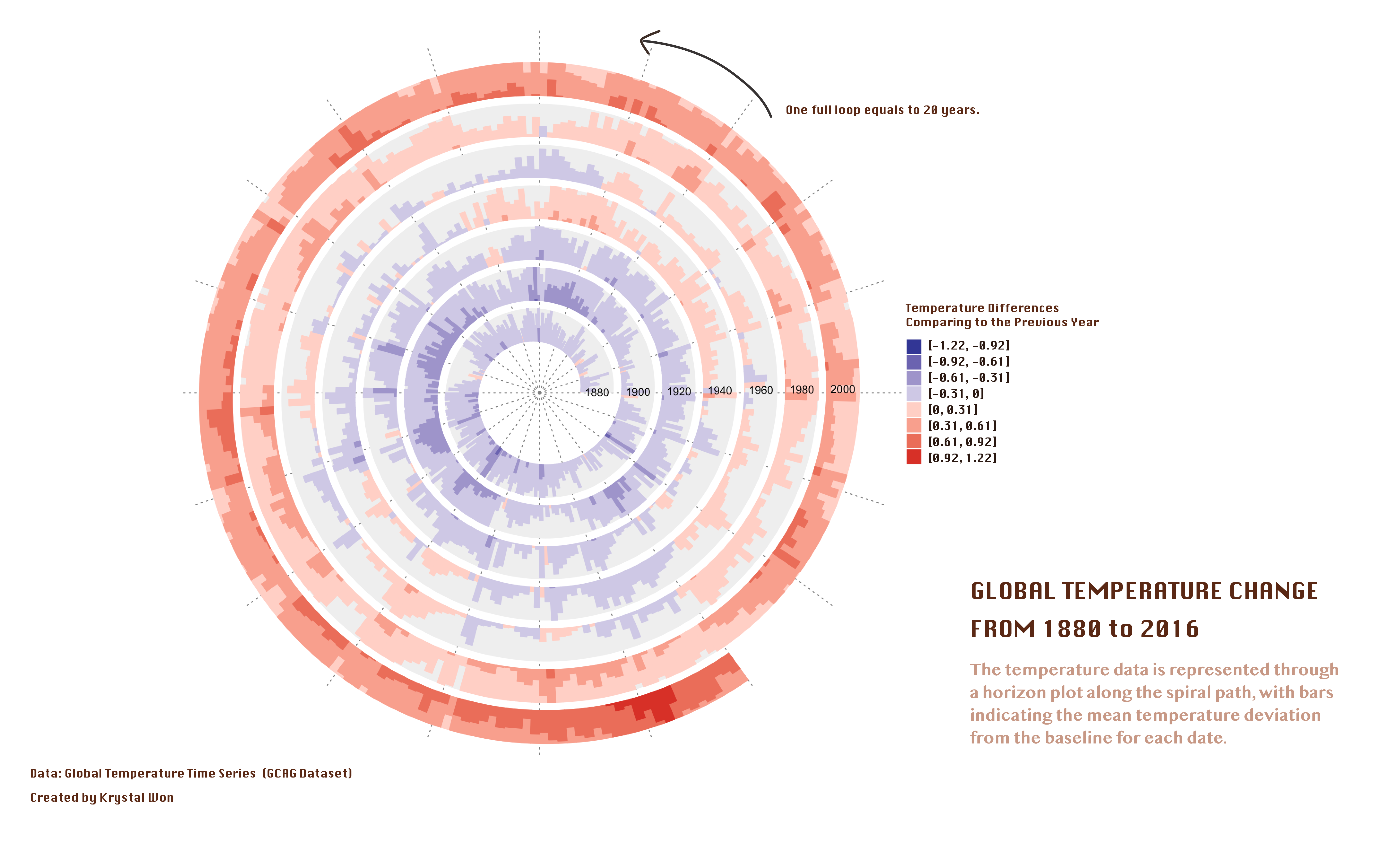
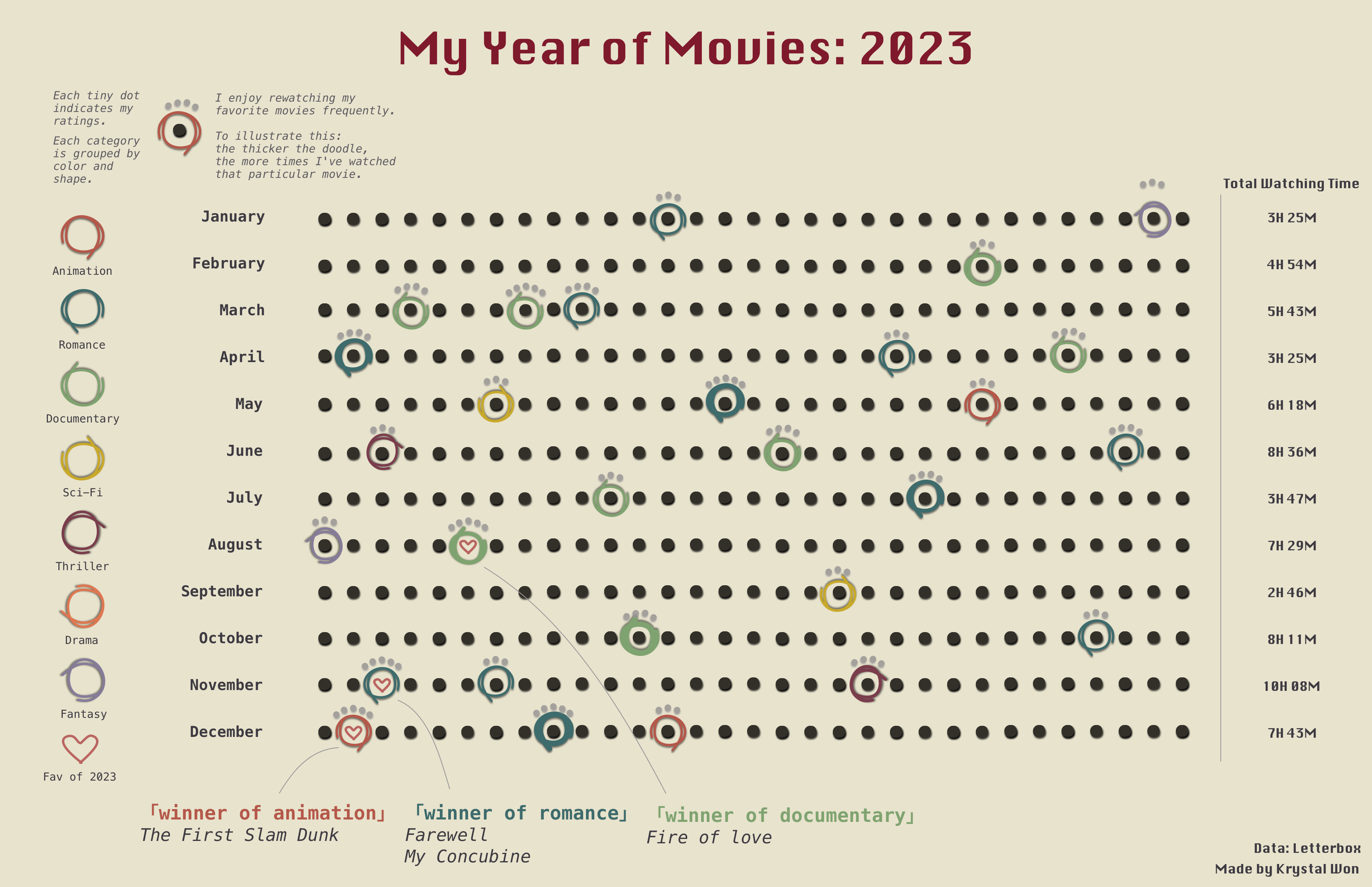
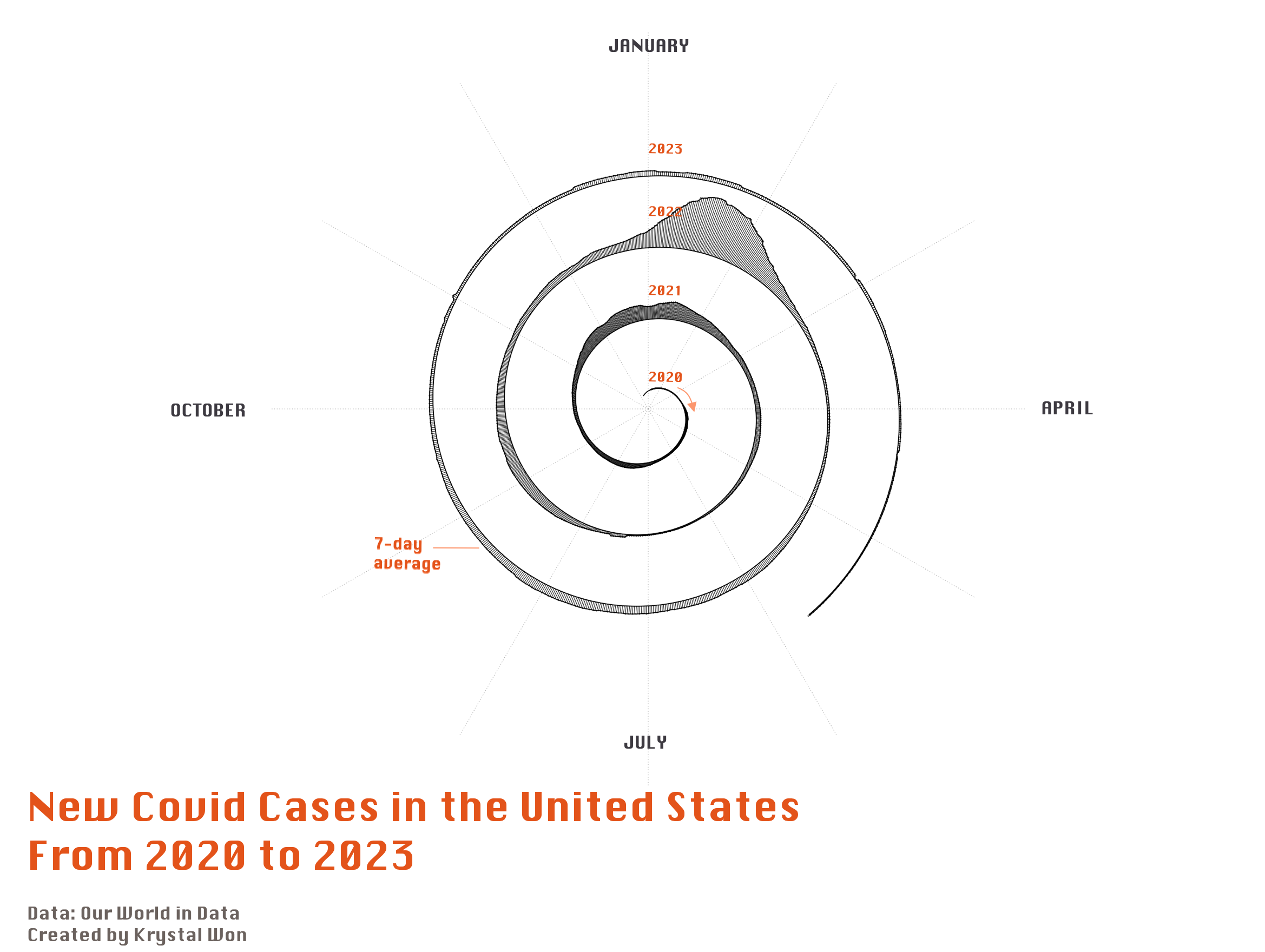
Data Visualization 📉

Creative visual representations of complex datasets and spatial information.

01. "Workforce Pathways": A National Training Provider Atlas

2024
Tools: Turf.js | D3.js | Mapbox GL JS
dataviz - Project 01 - Main image

Viz For Fun 🗳️

2023
dataviz - Individual Projects - Main image